
Description
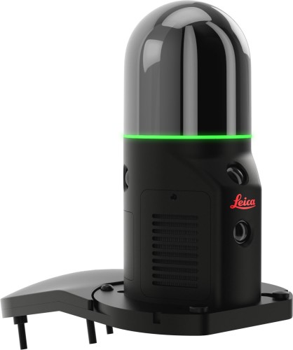
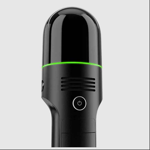
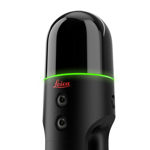
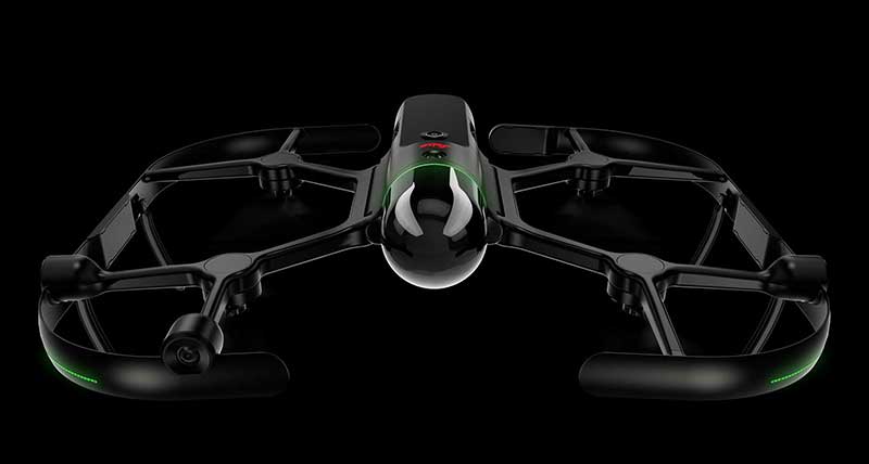
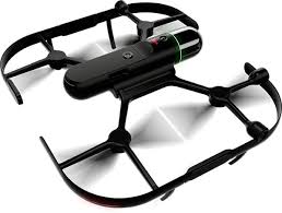
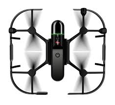
The Leica BLK2FLY is the world’s first fully integrated autonomous flying laser scanner, designed to capture reality from the air with unprecedented speed and simplicity. Combining advanced LiDAR technology, high-resolution imaging, and autonomous flight capabilities, the BLK2FLY enables users to scan complex structures, rooftops, façades, and hard-to-reach areas safely and efficiently.
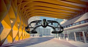
Using onboard obstacle avoidance and automated flight planning, the BLK2FLY navigates around structures while capturing accurate 3D point cloud data and imagery. The collected data can be seamlessly processed within the Leica Geosystems ecosystem, providing detailed digital twins, measurements, and visual documentation for architecture, engineering, construction, surveying, and asset management applications.
Lightweight, portable, and easy to operate, the Leica BLK2FLY transforms aerial reality capture by reducing field time, improving safety, and delivering comprehensive 3D data from perspectives that traditional terrestrial scanning methods cannot easily achieve.